
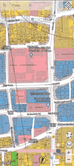
Access comprehensive development plans across selected regions overlaid on satellite imagery for visualization. Essential for real estate developers, valuers, and urban planners to visualize zoning, analyze land use, and make informed decisions.


GIS is a powerful technology that combines maps with data to help you visualize, analyze, and understand geographic information. It creates smart maps that show relationships, patterns, and trends in your data.
Our apps overlay official development plans and custom maps directly onto Google satellite imagery, allowing you to see exactly how planned developments relate to the current landscape.
Using GPS integration and precision georeferencing tools, our apps provide accurate location understanding and allow you to transform any map into a georeferenced overlay.
Comprehensive GIS tools for urban development analysis
Explore comprehensive development plans with satellite overlay
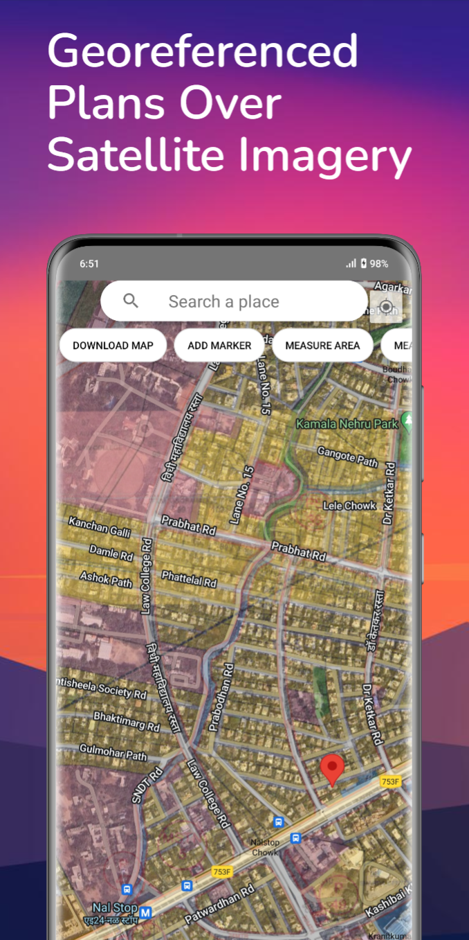
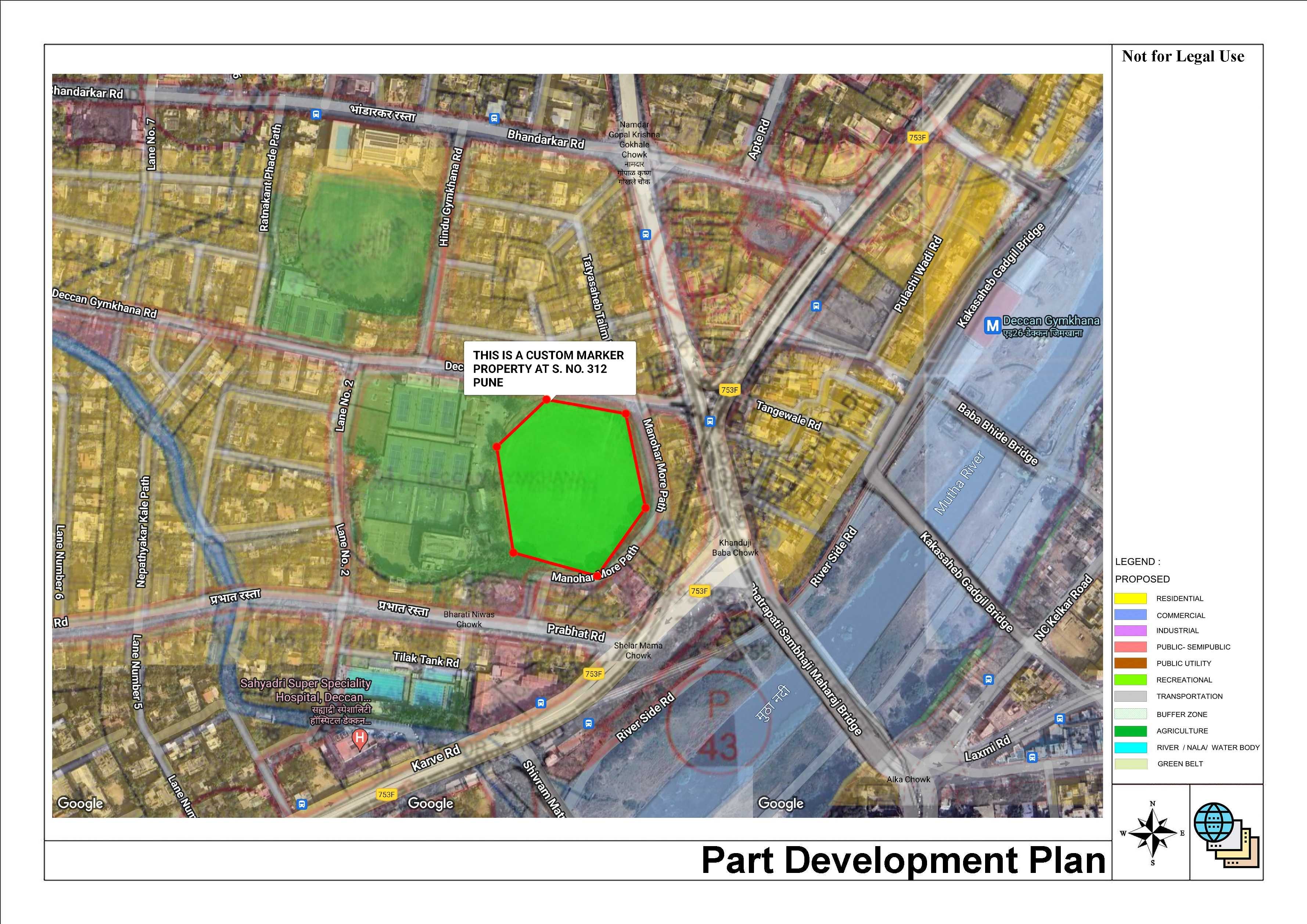
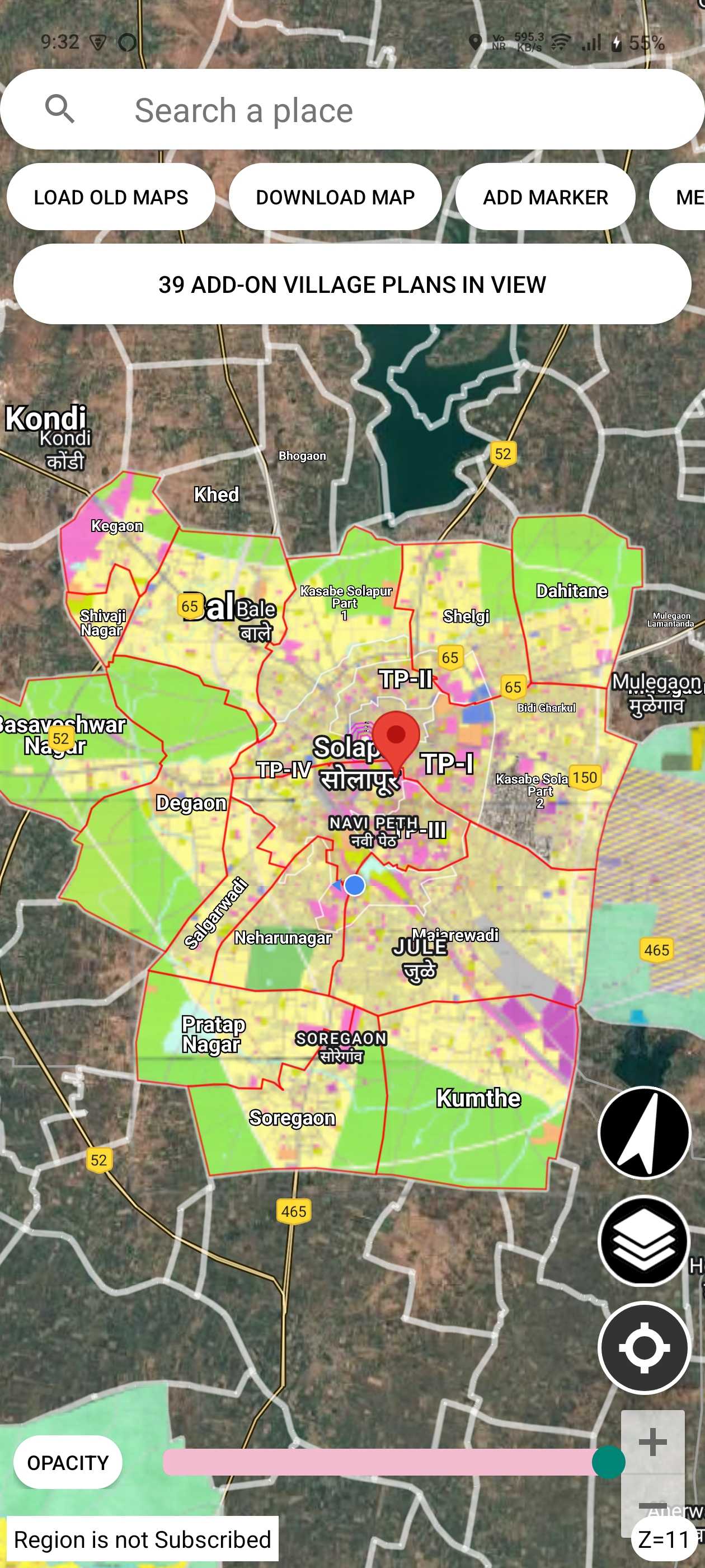
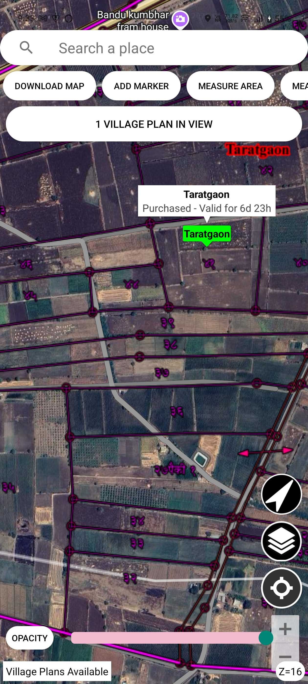
Satellite imagery overlay with high-resolution maps for visualizing development plans
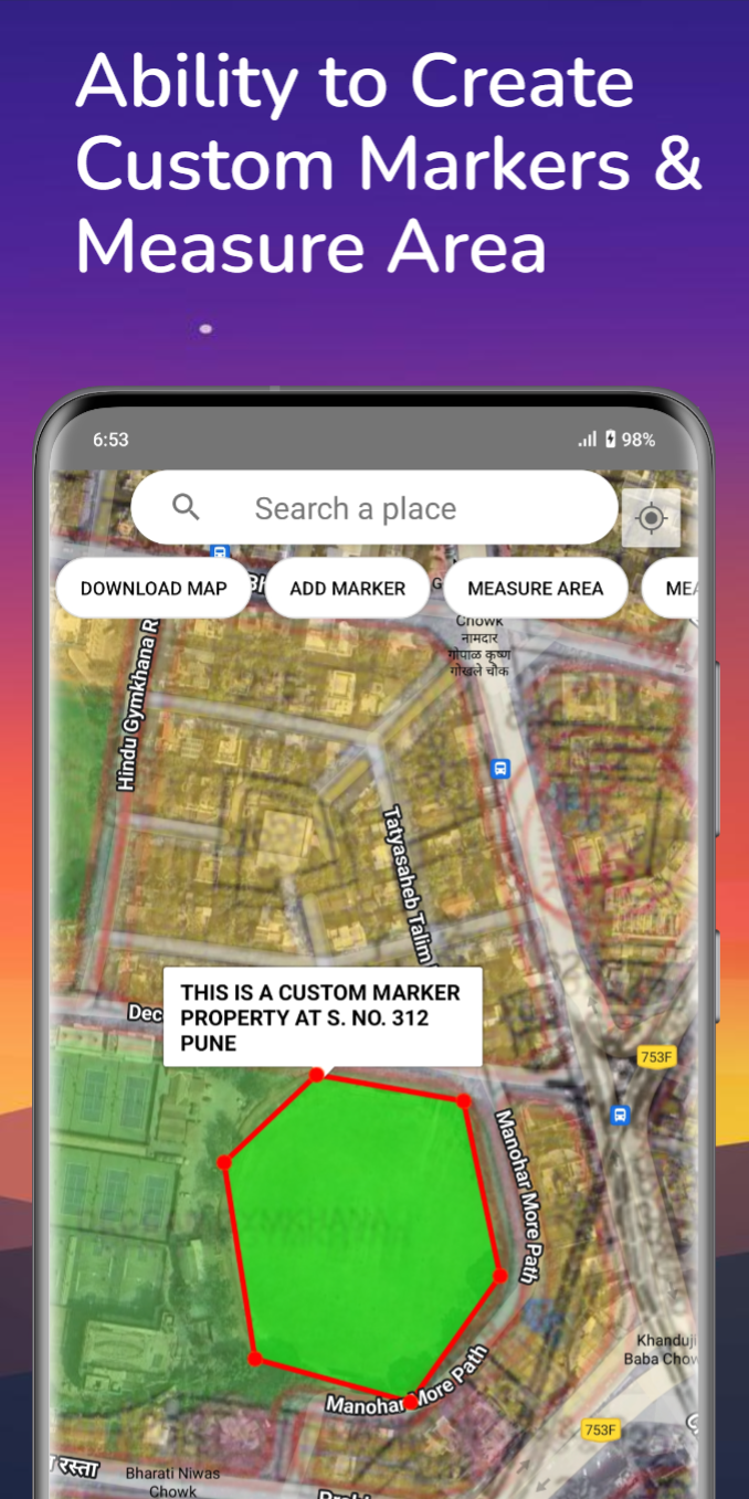
Calculate area and distance directly on interactive maps with precision
View residential, commercial, industrial, and special zones at a glance
Essential for real estate developers, valuers, investors, and urban planners
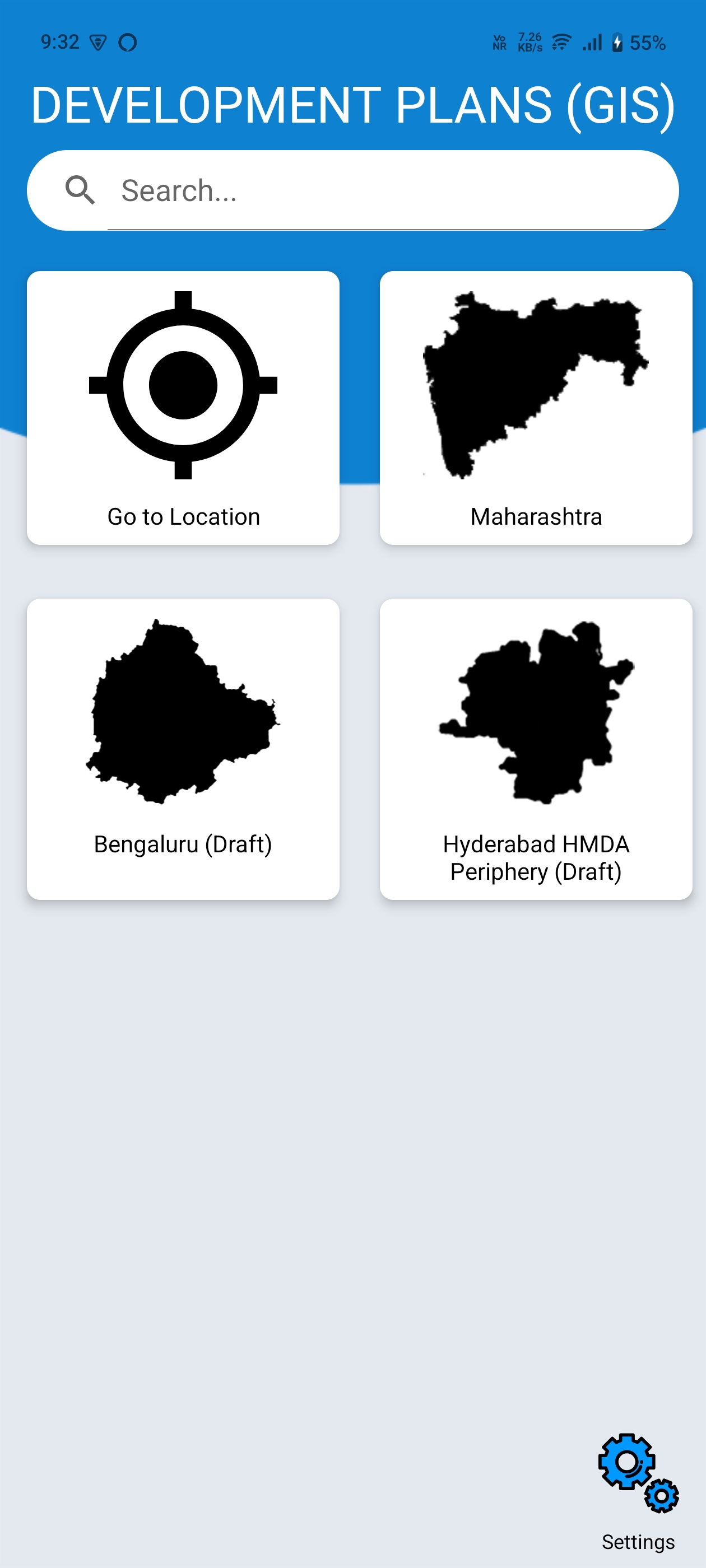
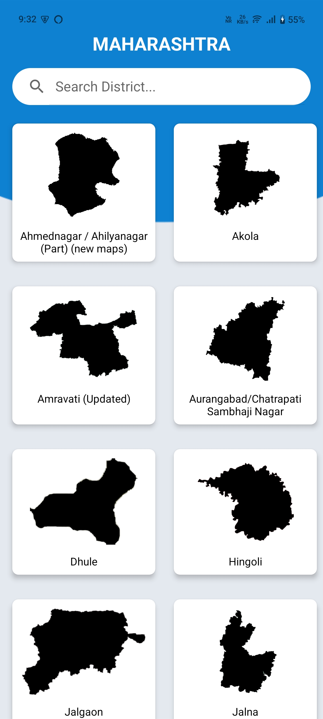
Access development plans for 157+ locations across India

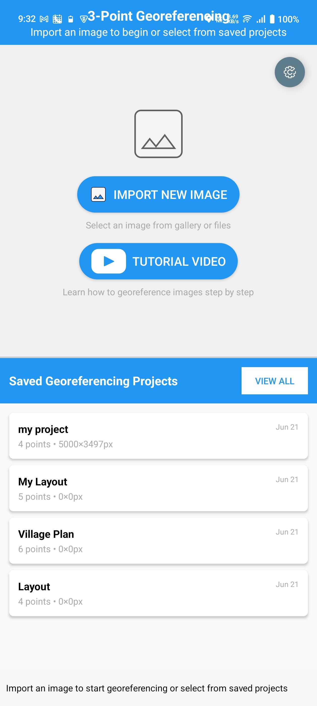
Desktop-grade precision georeferencing on your Android device
Professional georeferencing with precision control points
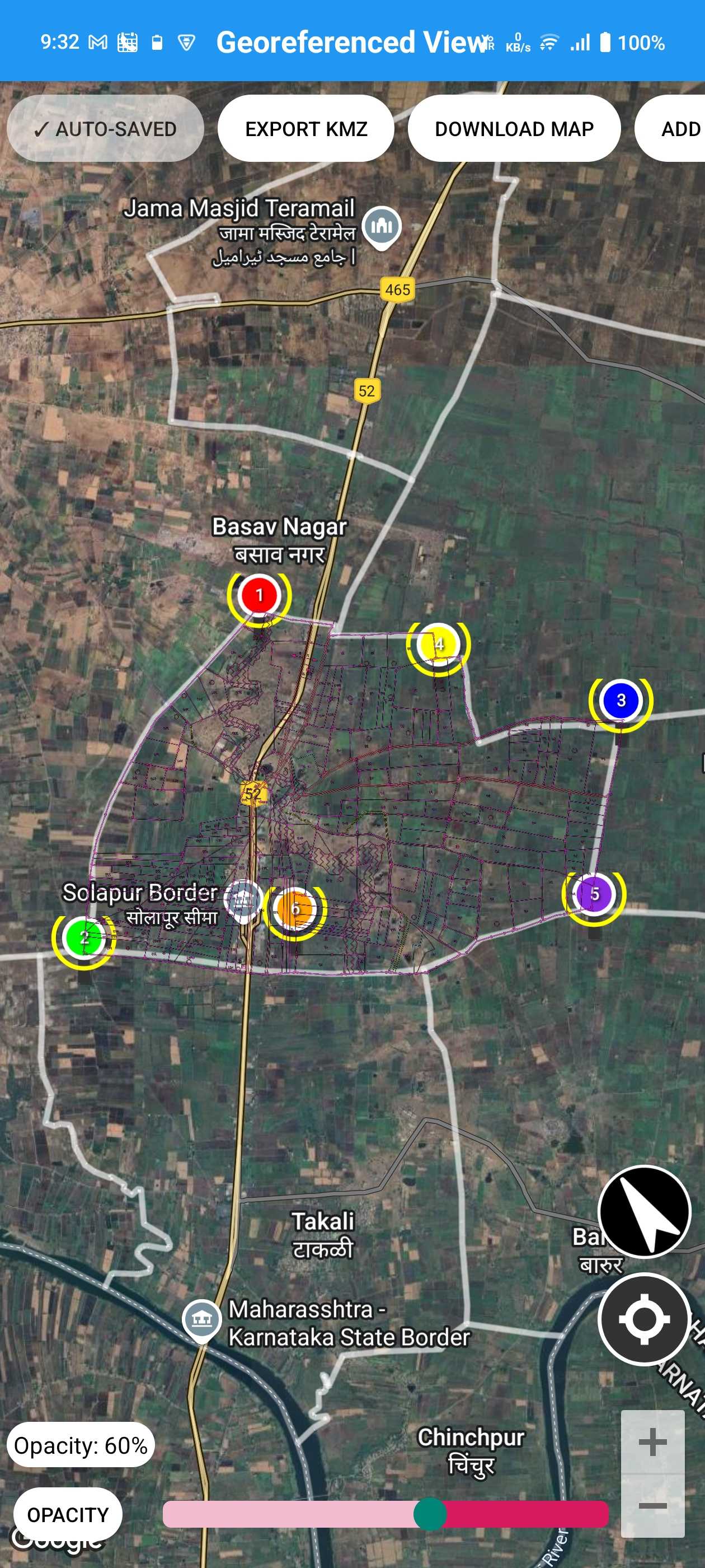
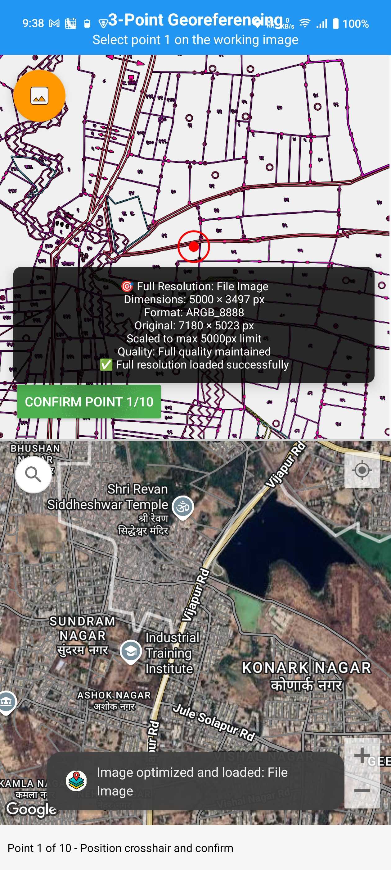
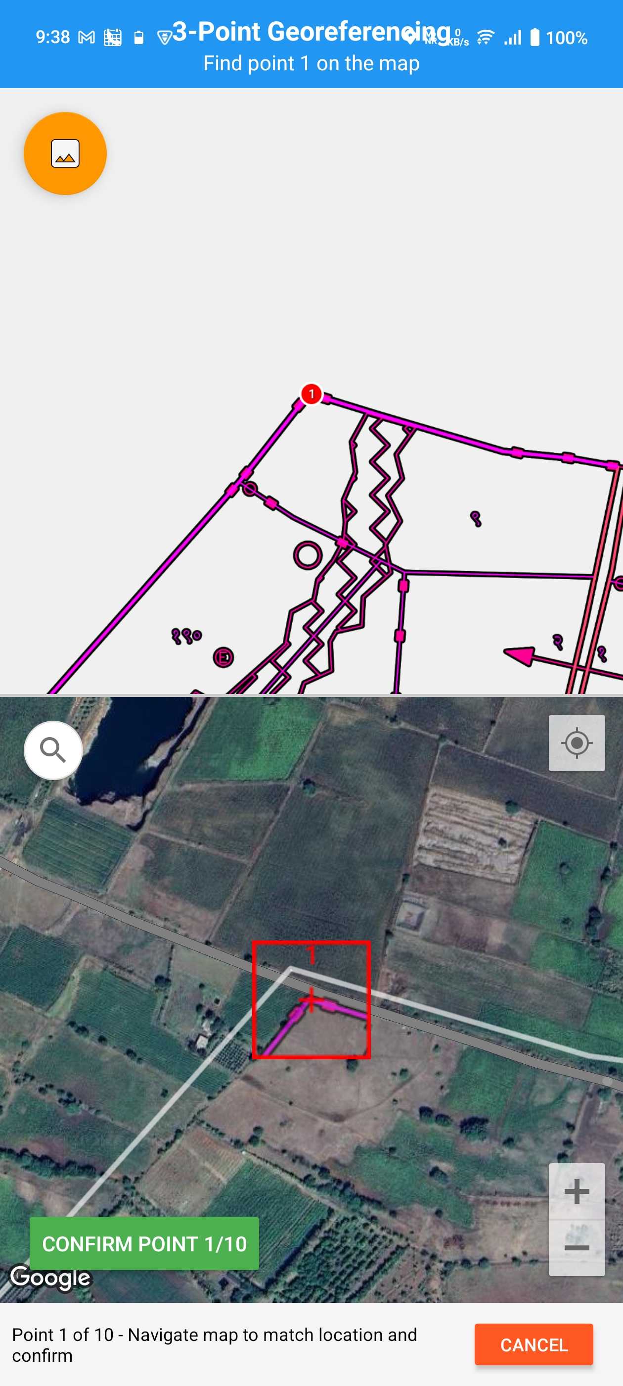
Precision control points with magnified views, live overlay transformation, drag & drop accuracy, and transparency controls for seamless blending
High-res satellite imagery, smart location search, GPS integration for auto-location, and custom markers with labels and details
Area calculation in m², hectares, acres, distance measurement tools, live calculations with instant feedback, metric and imperial support
Export as KMZ for Google Earth & GIS software, high-res screenshots, easy sharing via email and cloud apps, industry-standard formats
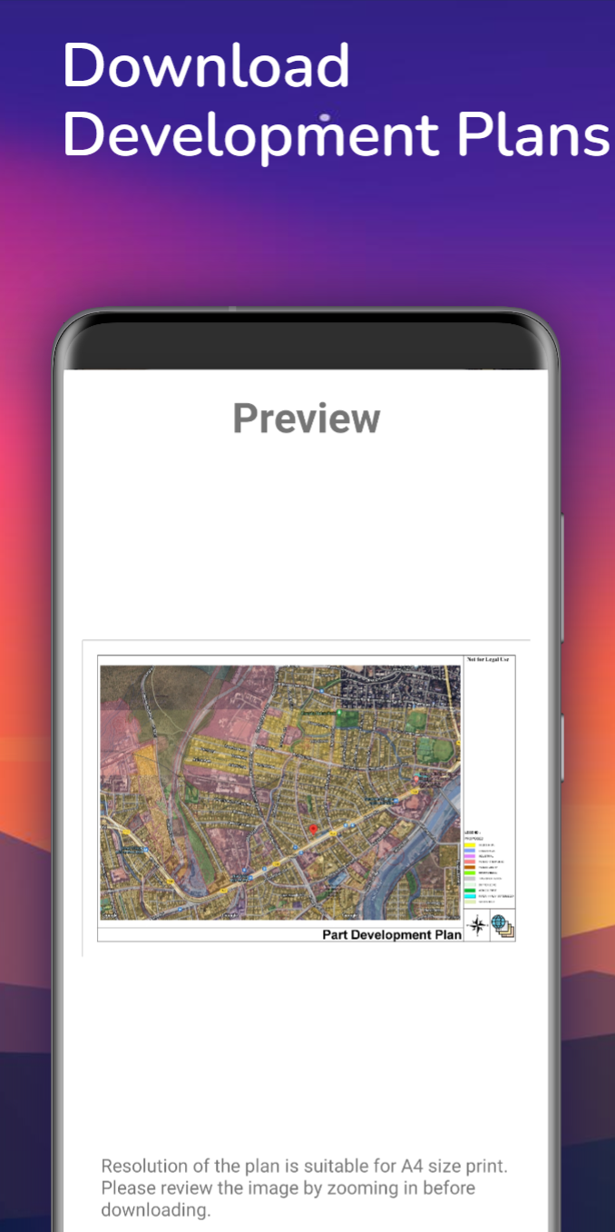
Supports JPG, PNG, PDF formats, high-resolution image handling, offline capability, memory optimized for large files
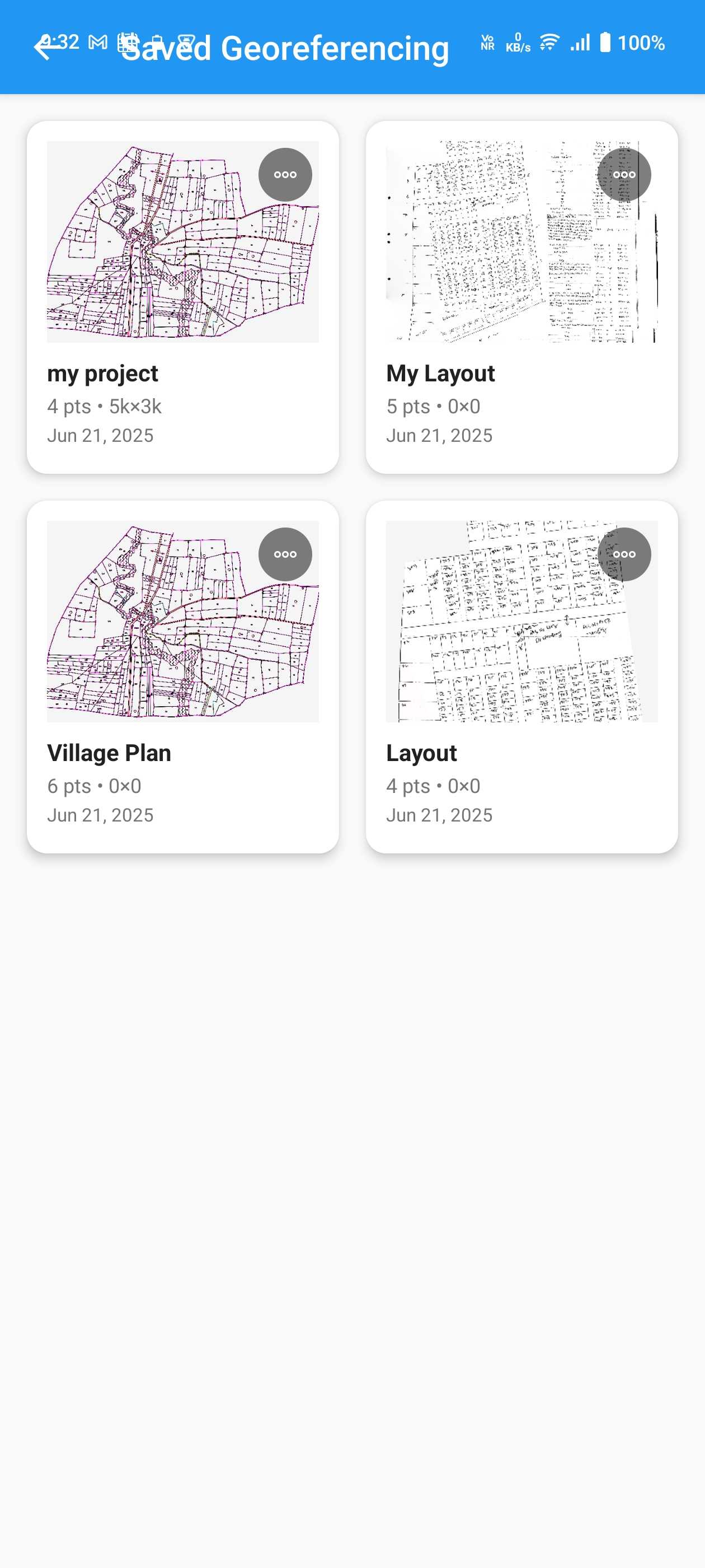
Unlimited projects with Premium, auto-save protection, organized project library, instant loading and resuming
Overlay survey maps on satellite imagery with precision control points for accurate field verification and boundary marking
Visualize development plans on live maps, assess zoning changes, and present proposals with professional overlays
Map field areas, habitats, and ecological zones. Document environmental changes with georeferenced overlays
Mark property boundaries and zoning plans, create professional presentations for clients with accurate overlays
Overlay site layouts and building plans on location for better project planning and coordination
Visualize evacuation routes and response zones, plan emergency services deployment with georeferenced maps
Desktop-level precision on your Android device with advanced georeferencing algorithms
Intuitive interface that makes professional georeferencing accessible to everyone
Stable and tested on thousands of devices with frequent updates and new features
Professional georeferencing tools for surveyors, planners, and GIS experts